How does GPS know where you are?

 The key lies in radio signals from space and some extremely precise clocks.
GPS finds your location using radio signals from satellites circling high above Earth. Each satellite keeps sending its current position and the current time. A receiver, such as the one in your phone, works out its distance to each satellite from how long the signal took to arrive, then combines the distances to four or more satellites to find where you are.
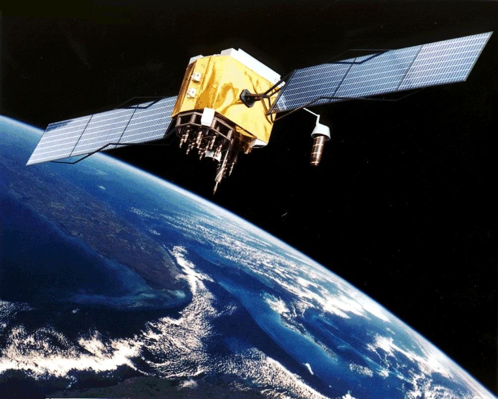
Satellites send their position and the time
GPS is made of three parts: satellites flying in space, control stations on the ground, and receivers such as the one in your phone. The satellites fly at an altitude of about 20,200 km and circle Earth 2 times a day. Each satellite keeps sending radio signals toward the ground that tell where it is right now and what time it is. The control stations on the ground keep the satellites in their proper orbits and adjust the satellite clocks.
Travel time tells the distance
The receiver compares the time the signal left the satellite with the time it arrived, to find how long the signal traveled. Because the speed of radio waves is known, that travel time can be turned into the distance to the satellite. Radio waves are so fast that even a tiny clock error turns into a big distance error. That is why each satellite carries several very precise atomic clocks.
Narrow it down with 3, fix the clock with the 4th
Knowing your distance to 1 satellite tells you that you are somewhere on the surface of a huge sphere centered on that satellite. Where that sphere overlaps with a 2nd satellite's sphere is a circle, and adding a 3rd satellite narrows your position down to just 2 points. But a phone's clock is not nearly as precise as a satellite's. So a 4th satellite is used to correct the clock error and find your exact position. The satellites are arranged so that at least 4 can be seen from almost anywhere on Earth.
Based on an explanation by NOAA.

Why GPS drifts near buildings
GPS-enabled smartphones are typically accurate to within about 4.9 m under open sky. But near buildings, bridges or trees, indoors or underground, signals can be blocked or bounce off buildings, so your position can drift. GPS also delivers very precise time, not just location, and is used to keep clocks in step for communications, power grids and banking systems.
Want to know more?
- GPS is owned by the United States and operated by the U.S. Space Force. Its civilian service is free for anyone in the world to use.
- In the 1990s, a feature deliberately made civilian GPS less accurate, but it was turned off in May 2000.
- When a map app shows you in the wrong place, the cause is sometimes a mistake in the map itself, not GPS.
Quick quiz: test yourself
Remember what you just read? Give it a try!How many satellites does GPS need to find your exact position?
Show the answer
- 1
- 2
- 4 or more
4 or more 3 satellites narrow your position down to 2 points, and a 4th satellite corrects the phone's clock error to find your exact position.
3 satellites narrow your position down to 2 points, and a 4th satellite corrects the phone's clock error to find your exact position.
Next quiz ›Sources
- Space SegmentGPS.gov(アメリカ政府)
- GPS AccuracyGPS.gov(アメリカ政府)
- GPS and Telling TimeGPS.gov(アメリカ政府)
- The Global Positioning System (Geodesy Tutorial)NOAA National Ocean Service
This article was written after checking the sources above as of 2026-10-03. Explanations may change as research progresses. Photo credits are shown below each photo.
Next fun fact ▶
 TechnologyWhy can a QR code still be read when it's a bit dirty?Even a slightly smudged QR code can often be read when you hold up your phone. Why might that be?

40 surprising animal facts with big photos and short, easy text. A fun-facts book for kids and grown-ups to read together.
See it on Amazon